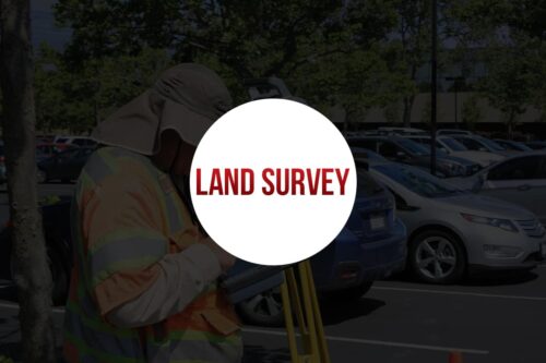
Land Survey and Transportation Design

Land Survey & Transportation Design comprises of various courses, which includes industry specific CAD software that are used by Civil Engineers or Surveyors for accomplishing preliminary tasks like enriching the design process using visualization and simulation tools thereby giving the stakeholders a better understanding of a site.
CAD software aids surveyors for streamlining projects and in evaluating multiple supposing scenarios. It helps in creating, annotating, moving, rotating, plotting and generating land surveying drawings quickly and easily.
For Transportation Designs CAD helps in evaluating existing situation of transportation infrastructure and producing data-rich proposals, drawing, and document.
Land Surveying or Surveying is the science, technique, and profession which determine the 3D position of points, distances and angles between them.
Surveyors mainly uses these equipment such as total stations, GPS receivers, robotic total stations, retro reflectors, 3D scanners, handheld tablets, radios, digital levels, drones, subsurface locators, GIS and surveying software.
Transportation Design mainly focuses on the geometric design of roads and in optimizing efficiency and safety of people and goods on the move, thereby considering on transportation cost minimization and damages to the environment, and improving the ‘livability’.
It also involves the design of doors of vehicles, study of traffic amounts and capability analysis.

Student's Feedback
Learning communicate to global world and build a bright future and career development, increase your skill with our histudy.

Histudy education, vulputate at sapien sit amet, auctor iaculis lorem. In vel hend rerit nisi. Vestibulum eget.
Divyansh Sharma

Our educational, vulputate at sapien sit amet, auctor iaculis lorem. In vel hend rerit nisi. Vestibulum eget.
Shankar K. Raman

Histudy education, vulputate at sapien sit amet, auctor iaculis lorem. In vel hend rerit nisi. Vestibulum eget.
Kavya Agnihotri

After the launch, vulputate at sapien sit amet, auctor iaculis lorem. In vel hend rerit nisi. Vestibulum eget risus velit.
